

UN Votes to Correct World Map Distortions, Putting Africa’s True Size in Focus





Africa’s true geographical scale has been thrust into the spotlight after 164 countries backed a United Nations resolution calling for greater use of world maps that more accurately represent the size of continents and countries.
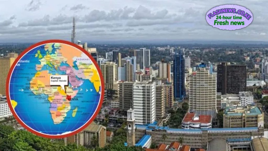
The United Nations General Assembly adopted the “Correct the Map” resolution on Friday, September 4, in a major African-led initiative aimed at addressing long-standing distortions created by some commonly used world map projections.
The resolution was supported by 164 countries, while one country voted against it and six abstained.
Kenya was among the African countries backing the proposal, which was introduced by Togo on behalf of the African Group and supported by the African Union.
The initiative seeks to encourage governments, schools, media organisations and international institutions to use geographical representations that give a more accurate impression of countries’ relative sizes.
Why Africa looks smaller on many maps
The campaign centres largely on the limitations of the Mercator projection, a map system developed for navigation that has been widely used in classrooms, books and digital representations of the world.
Although the Mercator projection is useful for certain purposes, it significantly exaggerates the apparent size of land masses as they move towards the North and South Poles.
As a result, countries and regions close to the Equator can appear disproportionately small compared with territories at higher latitudes.
Africa is one of the clearest examples.
On some familiar world maps, Greenland can appear comparable in size to Africa, creating a striking visual impression that bears little resemblance to their actual land areas.
In reality, Africa is approximately 14 times larger than Greenland.
Kenya, situated close to the Equator, is also affected by the same type of visual distortion.
Kenya’s borders will not change
The UN resolution does not change Kenya’s territory, borders, geographical shape or actual land area.
Instead, the proposed change concerns how geographical information is visually represented.
Maps based on equal-area projections can provide a more proportionate comparison between countries and continents, allowing viewers to better understand the enormous geographical scale of Africa.
Among the alternatives highlighted by supporters of the initiative is the Equal Earth projection, which is designed to preserve the relative area of land masses more accurately.
United States votes against resolution
The proposal received overwhelming backing in the General Assembly.
The United States was the only country to vote against the resolution, while Estonia, Georgia, Lithuania, Moldova, Serbia and Ukraine abstained.
The strong vote in favour represents a significant diplomatic endorsement of the African-led campaign.
A number of African countries backed the initiative, including Kenya, South Africa, Nigeria, Ghana, Egypt, Ethiopia, Tanzania, Uganda, Rwanda, Botswana, Zambia, Zimbabwe, Morocco, Algeria, Senegal and Côte d’Ivoire.
African Union welcomes landmark vote
The African Union welcomed the adoption of the resolution and congratulated Togo and the African Group for spearheading the initiative.
The AU said the proposal had first received endorsement from the African Union Assembly in February before being taken forward at the United Nations.
“Congratulations to the delegation of Togo and the African Group on the adoption this morning by the UNGA of resolution A/80/L.104, ‘Correct the Map,’” the African Union said.
The continental body said the initiative would encourage the use of more geographically accurate maps in classrooms, the media and international institutions.
“Today’s resolution promotes equal-area maps like Equal Earth across classrooms, media, and international institutions, ensuring the world map finally reflects Africa’s true scale, weight, and place in the world,” the AU added.
A map can shape how the world is perceived
Supporters argue that the issue goes beyond cartography.
For generations, people have learned geography primarily through world maps, meaning the way continents are drawn can influence perceptions of their relative importance and physical scale.
Africa is the world’s second-largest continent by land area, yet some widely used map projections can make it appear substantially smaller than it really is.
The “Correct the Map” campaign therefore seeks to make geographical representation more proportionate, particularly in educational settings.
For Kenya, the change would not redraw the country’s borders or make its territory physically larger.
Instead, it would help ensure that when Kenya appears alongside countries at higher latitudes, its relative geographical scale is represented more accurately.
The UN vote marks a significant step in the campaign to move away from misleading visual comparisons and towards maps that supporters say better reflect the actual size of the world’s continents and countries.
Also Read: Fresh Hope for Kenyans Selected in US Green Card Lottery After Court Ruling